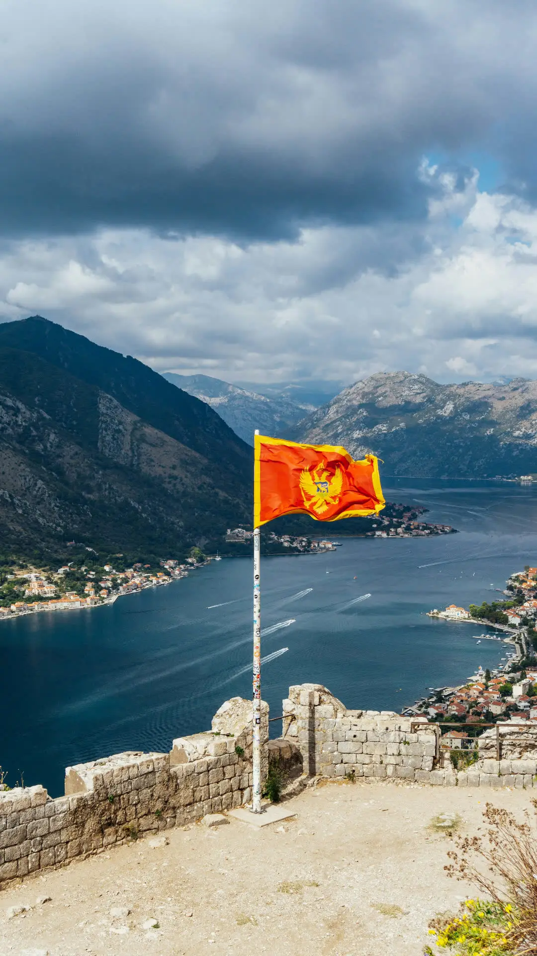
The name Crna Gora — Black Mountain — was not chosen by a marketing team. It comes from the dense black-pine forests that, seen from the coast, made the interior look like a wall of shadow. That wall is still there. By area, Montenegro is 89% mountainous, and the country's highest peak rises 2,534 metres barely a hundred kilometres from the sea.
Two countries, stacked vertically
If you stay on the coast for a week, you have seen one Montenegro. If you drive north past Nikšić for two hours, you arrive in a different one — colder, slower, with a different cuisine, different architecture, and an entirely different sense of time.
Durmitor, the anchor
Durmitor National Park is the reason every Vista Journeys week leaves the coast for at least two nights. The park holds eighteen glacial lakes, the deepest canyon in Europe, and a plateau at 1,500 metres that catches the first frost in mid-September and the last snow in May.
“You don't understand the coast until you've stood above Black Lake at sunrise.”
— Vista Journeys field notebook, 2024
Frequently asked
Questions guests ask before booking
What percent of Montenegro is mountainous?+
Roughly 89% of Montenegro's surface area is classified as mountainous terrain, making it one of the most vertically dramatic countries in Europe relative to its size.
What is the highest mountain in Montenegro?+
Bobotov Kuk in Durmitor National Park, at 2,523 metres, is the most commonly cited high point; Zla Kolata on the Albanian border is technically higher at 2,534 m.